The objective of the Destination Earth initiative is to develop a very high precision digital model of the Earth to monitor and simulate natural and human activity, and to develop and test scenarios that would enable more sustainable development and support European environmental policies.
Destination Earth (DestinE) will contribute to the European Commission’s Green Deal and Digital Strategy. It will unlock the potential of digital modelling of the Earth’s physical resources and related phenomena such as climate change, water/marine environments, polar areas and the cryosphere, etc. on a global scale to speed up the green transition and help plan for major environmental degradation and disasters. By opening up access to public datasets across Europe, it will also represent a key component of the European Strategy for Data.
Users of DestinE will be able to access vast amounts of natural and socio-economic information in order to:
- continuously monitor the health of the planet (e.g. to study the effects of climate change, the state of the oceans, the cryosphere, biodiversity, land use, and natural resources)
- perform high precision, dynamic simulations of the Earth’s natural systems (focusing on thematic domains, e.g. marine, land, coasts, atmosphere)
- improve modelling and predictive capacities (e.g. to help anticipate and plan measures in case of hurricanes and other extreme weather events and natural disasters, and contribute to analysing events with a major socio-economic impact)
- support EU policy-making and implementation (e.g. to assess the impact and efficiency of environmental policy and relevant legislative measures)
- reinforce Europe’s industrial and technological capabilities in simulation, modelling, predictive data analytics and artificial intelligence (AI), as well as high performance computing.
At the heart of Destination Earth will be a federated cloud-based modelling and simulation platform, providing access to data, advanced computing infrastructure (including high performance computing), software, AI applications and analytics. It will integrate digital twins – digital replicas of various aspects of the Earth system, such as weather forecasting and climate change, food and water security, global ocean circulation and the biogeochemistry of the oceans, and more– giving users access to thematic information, services, models, scenarios, simulations, forecasts, and visualisations. The platform will enable application development and the integration of users’ own data.
Initially DestinE will serve public authorities. It will gradually be opened up to scientific and industrial users, in order to spur innovation and enable the benchmarking of models and data.
Implementation
DestinE will be implemented gradually over the next 7-10 years, starting in 2021. The operational core platform, the digital twins and services are scheduled to be developed as part of the Commission’s Digital Europe programme, whilst Horizon Europe will provide research and innovation opportunities that will support the further development of DestinE. Synergies with other EU programmes, such as the Space Programme, and related national initiatives will also be explored.
Digital twins
A digital twin is a digital replica of a living or non-living physical entity. The digital twins created in DestinE will give users access to high-quality information, services, models, scenarios, forecasts and visualisations (e.g. in climate modelling and weather forecasting, hurricane evolution and more). Digital twins are based on the integration of continuous observation, modelling and high performance simulation, resulting in highly accurate predictions of future developments.
Preparing for DestinE
The first stakeholder workshop on DestinE was organised in November 2019, bringing together a large number of potentially interested parties from public authorities and the industrial and scientific communities.
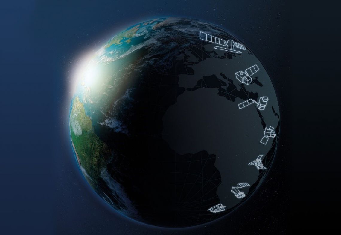
The Joint Research Centre is currently conducting a study “Destination Earth – Use Cases Analysis”, expected by October 2020. It will provide a state-of-the-art analysis of requirements for the development of digital twins at the performance levels needed for DestinE, through the integration of user-driven use cases, as well as the technical architecture and an initial mapping of existing developments in Europe in the area of digital twins. Institutions such as the European Space Agency (ESA), the European Centre for Medium-Range Weather Forecasts (ECMWF) and the European Organisation for the Exploitation of Meteorological Satellites (EUMETSAT), as well as the Commission’s services and agencies, are being consulted for this study. A further series of stakeholder workshops on the development of the digital twins are planned for the final quarter of 2020.
DestinE will be developed gradually through the following key milestones:
- In 2023: Launch of an operational cloud-based enabling platform and the first two digital twins.
- By 2025: Platform integrates 4-5 operational digital twins and offers services to public sector users for developing, monitoring and assessing the impact of proposed policy and legislative measures concerning the environment and climate.
- By 2025-30: Development towards a full digital twin of the Earth through a convergence of the digital twins already offered through the platform.


